
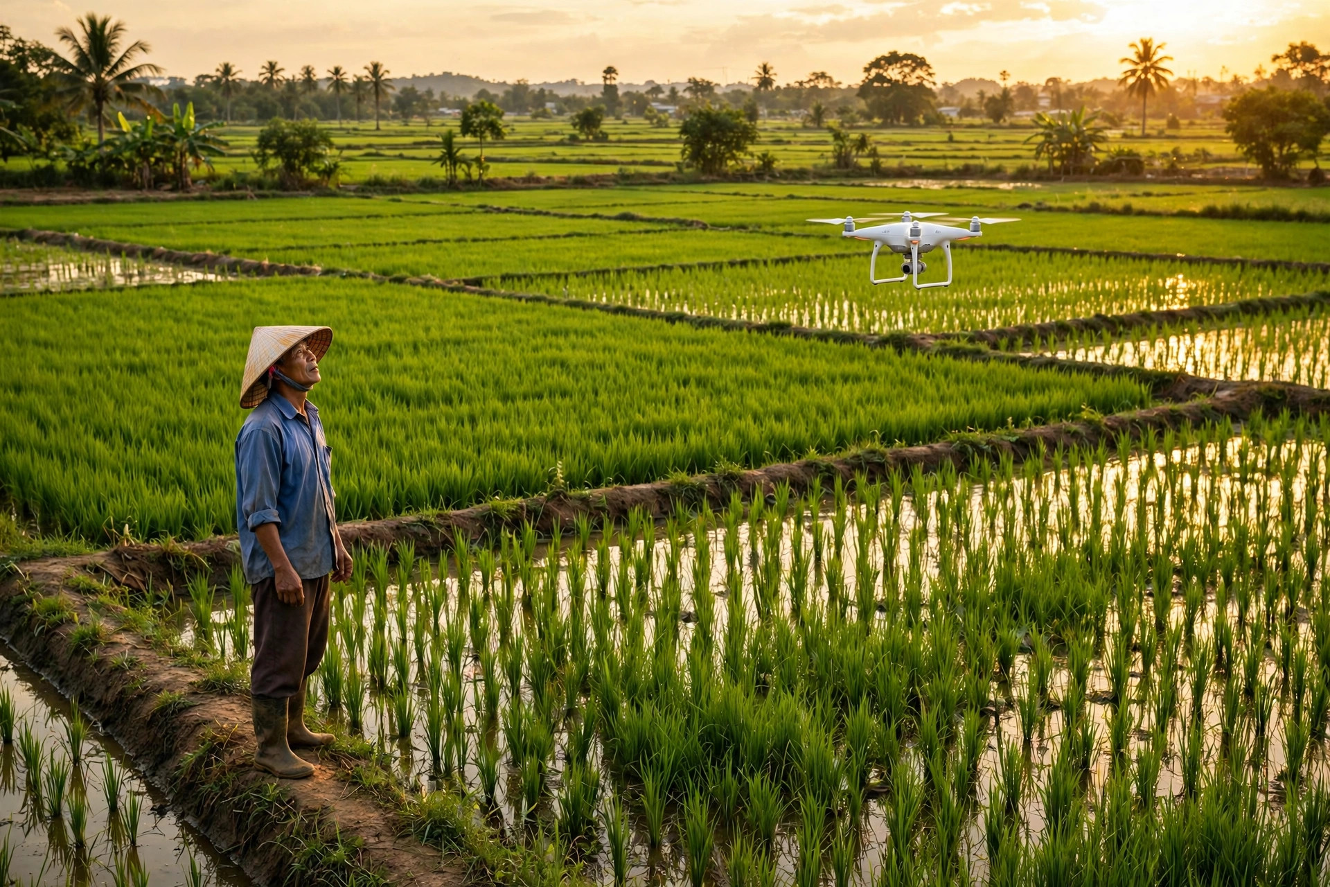
For generations, a Vietnamese farmer learned about a field by walking through it, mud on the boots, eyes on the leaves. Today, AI agriculture in Vietnam is adding a second pair of eyes, one that flies above the paddy and sees the whole field at once. Drones, satellites and machine learning now help farmers in the Mekong Delta spot sick plants, predict harvests and use less water and fertiliser. It is about saving money and catching problems while they are still cheap to fix.
Drones over the rice fields
The most visible change is in the sky. Around 10,000 drones are already at work in the Mekong Delta, mostly spraying pesticide and fertiliser, according to data from the VNPT UAV Lab reported in October 2026. In Can Tho alone, the area of rice sprayed by drone was expected to pass 4,000 hectares in 2026. A drone can cover in an hour what takes a worker much of a day, and it sprays from above, so the farmer no longer walks through chemicals.
The numbers behind the shift are striking. The head of the VNPT UAV Lab, Pham Duc Bao, has said drone use can cut seed use by 45 percent, fertiliser by 30 percent and irrigation water by 20 percent, while lifting productivity by about 12 percent and cutting overall production costs by up to 40 percent. That can mean roughly 6 million dong more profit per hectare per crop cycle. Spraying was only the first job. Drones fitted with multispectral sensors now photograph crops in wavelengths the human eye cannot see, revealing which patches are short of water or nutrients and which show the first signs of pests or disease. Instead of treating a whole field, a farmer can treat the few square metres that need it.
Satellites that watch every paddy
Drones are good for one field at a time. Satellites watch the whole delta. A joint project between the University of Southern Queensland and the Vietnam National Space Center is building digital maps of crop health and likely yields for rice and fruit, using satellite and drone imagery sharpened by artificial intelligence. The two-year project, backed by Australia’s Aus4Innovation programme, has already produced maps for farmers in Tay Ninh, An Giang and Dong Thap provinces.
The idea is simple: a satellite passes over the same fields again and again, and software compares each image with the last. A patch of rice that is growing more slowly than its neighbours shows up as a colour change on the map long before a person walking the bund would notice. The farmer gets a map, not a data dump, and can decide where to look first. Similar remote sensing is used across the region for weather forecasting and crop monitoring, and Vietnamese cooperatives are pairing it with field cameras and sensor systems that track irrigation and pests. The satellite does not replace the farmer’s judgement; it tells the farmer where judgement is most needed.
Spotting pests before they spread
The most valuable thing an AI system can do on a farm is to give a warning early. Plant diseases often show on leaves days before they damage a crop, and a drone photo analysed by software can flag the pattern while it is still a small patch. Vietnamese technology firms are already building this kind of tool: one company, TMA Solutions, uses drone photos and video to detect tree disease in durian orchards and coffee plantations, automatically flagging abnormal trees for a closer look.
The same logic applies to rice, coffee and fruit. Models trained on thousands of labelled images learn the difference between a healthy leaf and one carrying early blight or a pest infestation, and they can sort a whole orchard in minutes. For a smallholder, the difference matters: a disease caught in one corner of a field costs a morning of work, while the same disease caught a month later can cost the harvest. The technology is not perfect, and it still needs a person to confirm what the screen suggests, but as a first pass it is far faster than walking every row.
Predicting the harvest before it happens
Once software can see how a crop is growing, it can start to guess how much it will yield. Yield prediction combines satellite images, weather data, soil readings and the planting calendar, and the models improve with every season of data. A good forecast helps a family book labour early and helps a cooperative plan storage.
There are already working examples. A sustainable rice project run with the organisation Rikolto in the Mekong Delta uses satellite imagery and AI-based assessment of emissions and water use, alongside digital logbooks of farming practice. Its first certified harvest came in December 2025: 80 hectares yielding 500 tons of paddy rice. The volumes are modest, but the method is the point. The same field data that proves a crop was grown sustainably can also support a better price, because buyers of low-emission rice want proof, not promises.
What still stands in the way
For all the progress, AI agriculture in Vietnam is still early, and the obstacles are practical. A drone costs money, and so does the service that flies it; most smallholders use drones through a cooperative or a hire service rather than owning one. Then there is trust. A farmer who has read a field with their own eyes for thirty years will not follow a coloured map on a phone until that map has been right several times in a row.
Data is the other gap. Good models need large sets of labelled local images, and Vietnam’s rice varieties, soils and pests are not the same as those in the countries where most agricultural AI was first trained. The projects making real progress are the ones built with Vietnamese partners and local data, like the university and space centre work in the delta. Skills matter too: the tools only help if someone in the cooperative can fly the drone, read the map and explain it in plain language to the farmer.
What this means
AI agriculture in Vietnam is not about replacing farmers. It is about giving a farmer with two hectares the same kind of information a large farm gets from its agronomy team: where the crop is struggling, what is likely to happen next, and how much can be saved by acting now. The farms that benefit first will be the ones whose cooperatives can turn a map into a morning’s work, and whose farmers trust the screen enough to check it before they walk the field.
Sources
- University of Southern Queensland — Satellites and AI put crop insights in farmers’ hands (UniSQ and Vietnam National Space Center project)
- Aju Press — Drones Transforming Agriculture and Logistics in Vietnam
- TMA Solutions — The Future of Smart Farming: How AI Helps Vietnamese Farmers Increase Productivity
- BENEO — Sustainable rice farming: SRP project in Vietnam
- ERIA — Digitalisation of Agriculture and Food System in ASEAN, Vietnam chapter
- How Vietnamese businesses are moving to the cloud
- The data centres behind Vietnam’s cloud